Archivos de diario de abril 2017

11 de abril de 2017

Record Spring Wildflower Phenology

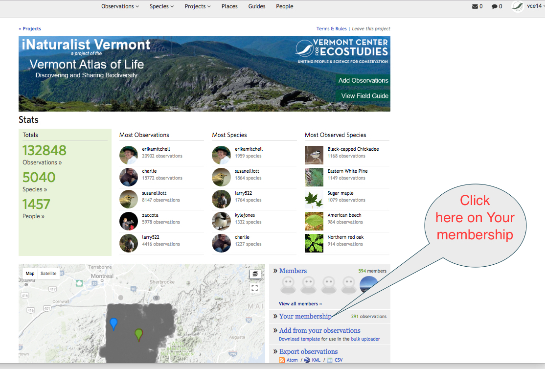
Last spring was  the warmest on record for the continental U.S. in 121 years of record keeping. And with that, spring sprung early. I have monitored the first flowering of Bloodroot, a native spring ephemeral wildflower, in my yard for the past three years. I take a photo of the first flower each year and upload it to iNaturalist Vermont, a project of the Vermont Atlas of Life, using an iPhone and the iNaturalist app. Last year, it flowered nearly three weeks earlier than the past. What will this year bring? You can help monitor flower phenology too.

Spring ephemeral wildflowers are perennial woodland plants that sprout from the ground early each spring, quickly bloom and seed before the canopy trees overhead leaf out. Once the forest floor is deep in shade, the leaves wither away leaving just the roots, rhizomes and bulbs underground. It allows them to take advantage of the full sunlight levels reaching the forest floor during early spring.

Long-term flowering records initiated by Henry David Thoreau in 1852 have been used in Massachusetts to monitor phenological changes. Phenology, the study of the timing of natural events such as migration, flowering, leaf-out or breeding, is key to examine and unravel the effects of climate change on ecosystems. Record-breaking spring temperatures in 2010 and 2012 resulted in the earliest flowering times in recorded history for dozens of spring-flowering plants of the eastern United States.

Help Monitor Wildflower Phenology

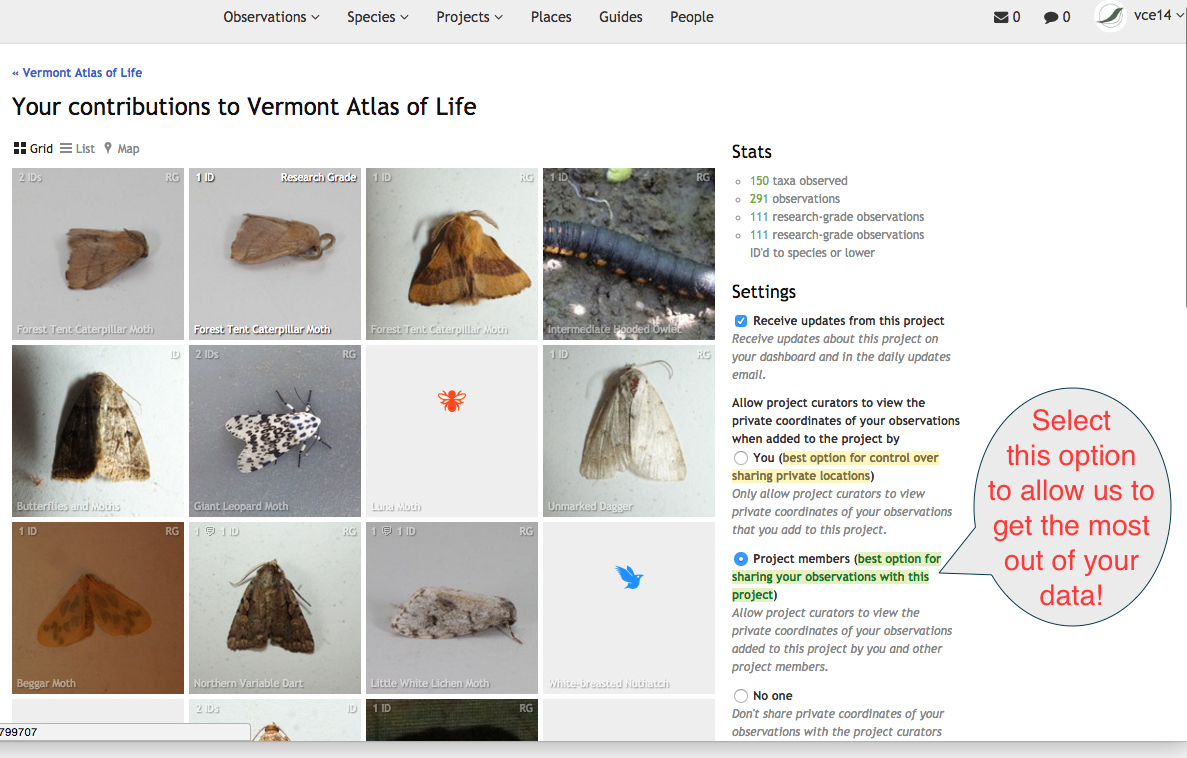
We’ve chosen 10 common spring ephemeral wildflowers for everyone to monitor. Find a plot to monitor in a forest near you or simply record the status of those you find around Vermont. You can enter your observations on our site at iNaturalist Vermont. Please include a photograph(s) of the plant and in the box next to “Add a field” type in Flowering Phenology (select bare, flower, or fruit).

Focal Wildflowers (click to learn more about each):

Trout Lily (Erythronium americanum)
Bloodroot (Sanguinaria canadensis)
Marsh Marigold (Caltha palustris)
Spring Beauty (Claytonia caroliniana)
Red Trillium (Trillium erectum)
Painted Trillium (Trillium undulatum)
Starflower (Trientalis borealis)
Dutchman’s Breeches (Dicentra cucullaria)
Squirrel Corn (Dicentra canadensis)
Jack-in-the-pulpit (Arisaema triphyllum)

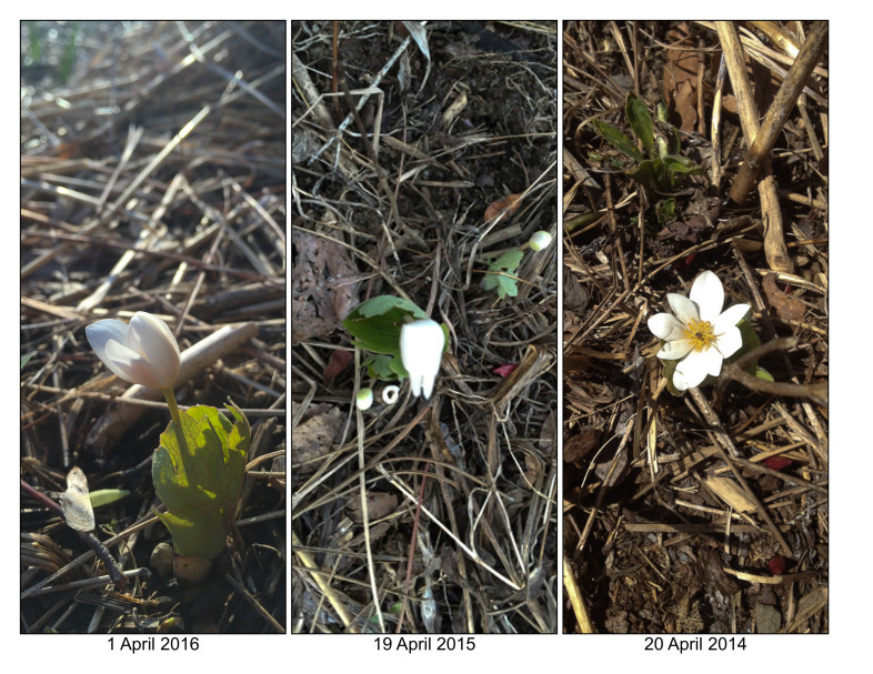
The same Bloodroot plant monitored for three years flowered nearly three weeks earlier last year. / K.P. McFarland

Publicado el abril 11, 2017 08:07 TARDE por kpmcfarland kpmcfarland | 1 comentario | Deja un comentario

24 de abril de 2017

Understanding Your Privacy Settings for iNaturalist Vermont

Many users don't realize that there are geoprivacy settings found in your user account that dictate not only what the public can see, but also what we can see as project curators on the iNaturalist Vermont project. Geoprivacy is a setting you can make on your observations that controls how the spatial coordinates (latitude and longitude) are displayed. Here are the options:

  1. open: Everyone can see the coordinates unless the taxon is threatened.
  2. obscured: Public coordinates shown as a random point within a 0.2 by 0.2 degree area that contains the true coordinates, which works out to about a 22x22 km square area of uncertainty at the equator, decreasing as you approach the poles. True coordinates are only visible to you and the curators of projects to which you add the observation.
  3. private: Coordinates completely hidden from public maps, true coordinates only visible to you and the curators of projects to which you add the observation.

When coordinates are obscured it means that a random point within a 0.2 degree x 0.2 degree area containing the true coordinates is shown publicly (i.e. on the home page, the observations page, and project pages), while the true coordinates are only visible when you are viewing your own observations (i.e. on the individual project pages and the list of your own observations). Note that curators of the projects to which you've added an observation can also see the true coordinates. Obscured coordinates should always be symbolized by circular marker without stems on maps and in geospatial feeds.

Coordinates are automatically obscured for all taxa that are "NEAR THREATENED" or worse according to the IUCN Red List. Some taxa may be declared threatened according to other conservation authorities, and some may be simply marked as threatened by iNat site curators if they believe it merits protection. You can also obscure the coordinates of your own observations regardless of what the taxon is.

It is important to set your geoprivacy settings so that we can get the most out of your observations for conservation and science. First, go to the iNaturalist Vermont project page at http://www.inaturalist.org/projects/vermont-atlas-of-life. Indicated in the image below, you can see you need to click on "Your membership" to open the project settings.

page 1

In this new window, on the right side under "Settings", you can select the geoprivacy of your data for our project. The first one is the default. We'd actually prefer that you select the second option, in green, and indicated below in this screen image. This allows us as curators to see the actual location of any data you make private, thereby making it much much more useful for conservation and science applications.

page 2

Thank you so much for your contributions and we hope you share as much with us as possible. If you have any questions, please let us know!

Kent McFarland, kmcfarland@vtecostudies.org

Publicado el abril 24, 2017 06:47 TARDE por kpmcfarland kpmcfarland | 1 comentario | Deja un comentario

28 de abril de 2017

VCE Launches Damselfly and Dragonfly Atlas

The Vermont Center for Ecostudies (VCE) today launched an online atlas of damselflies and dragonflies, allowing anyone to report, track, study, discover or simply enjoy the charismatic insects. The Vermont Damselfly and Dragonfly Atlas presents vivid photos, real-time distribution maps and written profiles for 143 species found everywhere from backyard ponds to remote bogs and swamps.

The project begins with nearly 10,000 records of Vermont damselflies and dragonflies, dating as far back as 1891 and now assembled in the atlas’ online database. VCE urges anyone with even a casual interest to contribute their sightings and photos to iNaturalist Vermont or directly to Odonata Central.

Learn more on the VCE Blog at http://vtecostudies.org/blog/vce-launches-damselfly-and-dragonfly-atlas/

Publicado el abril 28, 2017 06:07 TARDE por kpmcfarland kpmcfarland | 0 comentarios | Deja un comentario

Archivos